

















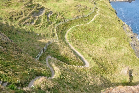
 Hike the South West Coast Path
The South West Coast Path means breathtaking nature, kind people and delicious food everywhere you go. It is an unforgettable experience and you need to add it to your bucket list.
This page shows both the average monthly rainfall and the number of rainy days in Brentor, Devon, United Kingdom. This average is based on long-term data collected between 1990 and 2020. Let's explore the details to provide you with a complete overview.
Brentor experiences significant rainfall throughout the year, averaging 1030 mm (41 in) of precipitation annually.


Precipitation levels in Brentor remain relatively steady throughout the year. December has the most rain, with 100 mm (3.9 in) over 21 days. In September, this drops slightly to 71 mm (2.8 in), making the city's climate fairly predictable.
December, the wettest month, has a maximum daytime temperature of 10°C (50°F). The city receives 55 hours of sunshine in this period. During the driest month September you can expect a temperature of 19°C (66°F). For more detailed insights into the city's temperatures, visit our Brentor Temperature page.
The map below shows the annual precipitation across the United Kingdom. You can also select the different months in case you are interested in a specific month.
Brentor's average annual precipitation is 1030 mm (41 in). Let's compare this to some popular worldwide tourist destinations:
In Toronto, Canada, annual precipitation averages 964 mm (38 in), with snowy winters and rainy summers.
In Seoul, South Korea, the average annual precipitation is 1237 mm (49 in), with most rain falling during the summer monsoon season.
Melbourne, Australia, has 690 mm (27 in) of rainfall annually, spread fairly evenly throughout the year.
Bangkok, Thailand, experiences a tropical monsoon climate with 1668 mm (66 in) of annual rainfall, with the heaviest precipitation occurring during September and October.
Precipitation amounts are measured using specific gauges installed at weather stations, collecting both rain and snow and any other type of precipitation. Rainfall is measured directly in millimeters, while that from snow and ice is obtained by melting it. Automated systems often incorporate heaters to make this easier.
Information from these stations is transmitted via Wi-Fi, satellite, GPS, or telephone connections to central monitoring networks. This information is immediately updated and integrated into weather models and forecasts.
Climate change is affecting precipitation patterns worldwide, including Brentor:
For more detailed information about Brentor's weather, including sunshine hours, humidity levels, and temperature data, visit our Brentor Climate page.
Pick a month to see the average temperature, rainfall and sunshine in Brentor - and find the best time to visit.
Temperature Rainfall Sunshine Humidity
See the full Brentor climate overview or explore weather in the United Kingdom.
Where to go in November - average daytime high across popular destinations.
Need travel inspiration? Check out our bucket list articles and be inspired.
Hike the South West Coast Path
The South West Coast Path means breathtaking nature, kind people and delicious food everywhere you go. It is an unforgettable experience and you need to add it to your bucket list.
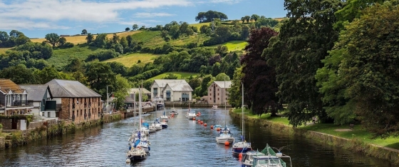 Welcome to Totnes, the hidden treasure of South Devon
Totnes is a place where historical richness fuses effortlessly with a vibrant alternative culture and breathtaking natural surroundings. The town pulses with an amazing community spirit that you'll feel around every corner.
 London's coolest neighborhoods you'll want to visit
Discover the 6 coolest neighborhoods in London for your trip! Explore vibrant Shoreditch, lively Soho, alternative Camden, and many more.
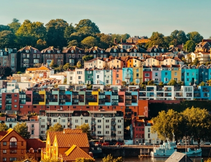 10 cities you should definitely visit in the UK
Discover the top 10 most fun and alternative cities in the UK, rich in art, culture, and adventure. Explore vibrant neighborhoods and unique places.