


















 Hike the South West Coast Path
The South West Coast Path means breathtaking nature, kind people and delicious food everywhere you go. It is an unforgettable experience and you need to add it to your bucket list.
Wingham, Kent, United Kingdom has an average annual maximum temperature of 15°C (59°F), ranging from 9°C (48°F) in January to 22°C (72°F) in August. Below you'll find a full monthly breakdown and a comparison with cities worldwide.
With significant temperature fluctuations, Wingham enjoys distinct seasons year-round. Nighttime lows range from 15°C (59°F) in August to 4°C (39°F) in January.
The chart below illustrates the average maximum day and minimum night temperatures in Wingham by month:

From around 4 AM to 6 AM temperatures are at their lowest; by 3 PM they've climbed to their daily peak. August, the warmest month, averages 196 hours of sunshine.
The chart below shows the average temperature throughout the year:
The map below shows the annual temperature across the United Kingdom. You can also select individual months if you want to compare a specific time of year.
Wingham's average annual maximum temperature is 15°C (59°F). To put that in context, here's how it compares to a few well-known destinations:
Barcelona, Spain has an annual average of around 21°C (70°F), with warm summers and mild, fairly short winters.
Queenstown, New Zealand averages 10°C (50°F) annually, remember seasons are flipped, so its coldest months fall in June and July.
Seoul, South Korea averages 18°C (64°F) a year, with four clear seasons, cold winters, and hot humid summers.
Tokyo, Japan averages 21°C (70°F) a year, with hot summers, cool winters, and a well-defined cherry blossom spring.
Climate temperature data is typically calculated as a 30-year average. This smooths out year-to-year variability and gives a more reliable picture of what a place is actually like, rather than what happened in any single unusual year.
The readings come from a range of sources, land-based weather stations, ocean buoys, ships, and satellites. That data is collected by weather services around the world, then pooled, quality-checked, and averaged to produce the climate records you see here.
Whether a city sits on the coast or deep inland makes a significant difference to its climate. Coastal areas tend to have more stable temperatures year-round, large bodies of water absorb heat slowly in summer and release it gradually in winter, keeping extremes in check. Cities far from the sea don't benefit from that buffer, which is why continental climates tend to have hotter summers and colder winters than their coastal counterparts at the same latitude.
For more on Wingham's weather, including monthly rainfall, sunshine hours, and humidity, visit our Wingham climate page.
Pick a month to see the average temperature, rainfall and sunshine in Wingham - and find the best time to visit.
See the full Wingham climate overview or explore weather in the United Kingdom.
Where to go in October - average daytime high across popular destinations.
London 16°C (61°F) Bath15°C (59°F) Torquay16°C (61°F) Manchester14°C (57°F) York15°C (59°F) Blackpool
 15°C (59°F) Edinburgh13°C (55°F) Glasgow14°C (57°F)
 Need travel inspiration? Check out our bucket list articles and be inspired.
Hike the South West Coast Path
The South West Coast Path means breathtaking nature, kind people and delicious food everywhere you go. It is an unforgettable experience and you need to add it to your bucket list.
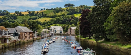 Welcome to Totnes, the hidden treasure of South Devon
Totnes is a place where historical richness fuses effortlessly with a vibrant alternative culture and breathtaking natural surroundings. The town pulses with an amazing community spirit that you'll feel around every corner.
 London's coolest neighborhoods you'll want to visit
Discover the 6 coolest neighborhoods in London for your trip! Explore vibrant Shoreditch, lively Soho, alternative Camden, and many more.
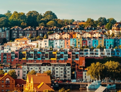 10 cities you should definitely visit in the UK
Discover the top 10 most fun and alternative cities in the UK, rich in art, culture, and adventure. Explore vibrant neighborhoods and unique places.