














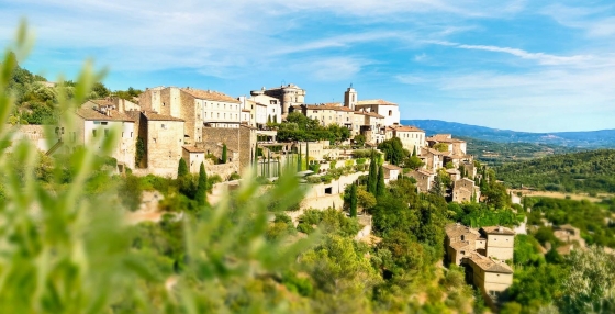
 The 10 most charming villages in France
Discover France's top 10 beautiful villages. From Normandy to the Côte d'Azur, experience quaint squares and cobbled streets. Which one will you visit this summer?
The average annual maximum temperature in Roquevaire, Provence-Alpes-Côte d'Azur, France is 20°C (68°F), with daytime highs ranging from 12°C (54°F) in January to 28°C (82°F) in August. This page covers monthly averages, day-night differences, and how Roquevaire compares to cities worldwide.
In Roquevaire, temperatures can shift dramatically between warm in summer and mild in winter. Nights follow the same pattern, with lows ranging from 19°C (66°F) in August to 4°C (39°F) in January.
The chart below illustrates the average maximum day and minimum night temperatures in Roquevaire by month:

The minimum temperature is often recorded between 4 AM and 6 AM, while the highest temperature is usually reached at 3 PM, when the sun's heating effect is strongest. August, the warmest month, gets 327 hours of sunshine.
The chart below shows the average temperature throughout the year:
The map below shows the annual temperature across France. You can also select individual months if you want to compare a specific time of year.
Roquevaire's average annual maximum temperature is 20°C (68°F). To put that in context, here's how it compares to a few well-known destinations:
Rome, Italy averages 20°C (68°F) annually, with reliably warm summers and comfortable winters.
Glasgow, Scotland averages 13°C (55°F) a year, mild but often grey, with cold winters and rarely hot summers.
San Francisco, USA averages 19°C (66°F) annually, but with little seasonal variation, summers are often cool and foggy, winters mild.
Adelaide, Australia averages 21°C (70°F) a year, with warm summers, mild winters, and relatively low rainfall year-round.
Climate temperature data is typically calculated as a 30-year average. This smooths out year-to-year variability and gives a more reliable picture of what a place is actually like, rather than what happened in any single unusual year.
The readings come from a range of sources, land-based weather stations, ocean buoys, ships, and satellites. That data is collected by weather services around the world, then pooled, quality-checked, and averaged to produce the climate records you see here.
For cities and regions with significant elevation, altitude is one of the biggest factors shaping local temperatures. As a rule of thumb, temperatures fall by around 6°C for every 1,000 metres gained, so a city at 2,000 metres will typically be around 12°C cooler than a city at sea level in the same region. Higher ground also tends to see more dramatic day-to-night temperature swings, since thinner air loses heat faster after sunset.
For more on Roquevaire's weather, including monthly rainfall, sunshine hours, and humidity, visit our Roquevaire climate page.
Pick a month to see the average temperature, rainfall and sunshine in Roquevaire - and find the best time to visit.
See the full Roquevaire climate overview or explore weather in France.
Where to go in October - average daytime high across popular destinations.
Need travel inspiration? Check out our bucket list articles and be inspired.
The 10 most charming villages in France
Discover France's top 10 beautiful villages. From Normandy to the Côte d'Azur, experience quaint squares and cobbled streets. Which one will you visit this summer?
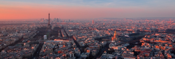 An alternative way to discover Paris
From street art, vintage shops, vegetarian cafes, to amazing cultural events, Paris has much to offer for the creative traveler. An overview of sights that you must see if you want to visit this city in an alternative way.
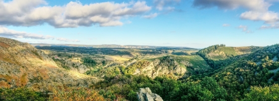 Nature is allowed to take its course in the Ardeche
The Ardèche is France at its most beautiful. The authentic villages and breathtaking mountainous landscapes are one of the main reasons. he climate in Ardèche is very pleasant. Temperatures are high during summer and it is often very sunny.

 Explore the natural wonders of Corsica
Corsica offers an abundance of incredible natural wonders to explore. This stunning Mediterranean island is a paradise for outdoor enthusiasts and nature lovers alike.