














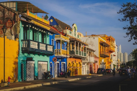
 The 10 most alternative cities in South America
Discover South America's top 10 alternative cities! From Valparaíso's vibrant streets to La Paz's high-altitude charm and Medellín's innovative spirit.
Tumbabiro in Ecuador enjoys a stable climate, with daytime temperatures staying close to 21°C (70°F) throughout the year. Explore the full monthly breakdown below.
With minimal seasonal shifts, Tumbabiro experiences a constant climate year-round. Maximum daytime temperatures range from a pleasant 22°C (72°F) in September to a pleasant 20°C (68°F) in December. At night, temperatures range from 10°C (50°F) in September to 10°C (50°F) in December.
The chart below illustrates the average maximum day and minimum night temperatures in Tumbabiro by month:

From around 4 AM to 6 AM temperatures are at their lowest; by 3 PM they've climbed to their daily peak. September, the warmest month, averages 117 hours of sunshine.
The chart below shows the average temperature throughout the year:
The map below shows the annual temperature across Ecuador. You can also select individual months if you want to compare a specific time of year.
Tumbabiro's average annual maximum temperature is 21°C (70°F). To put that in context, here's how it compares to a few well-known destinations:
Barcelona, Spain has an annual average of around 21°C (70°F), with warm summers and mild, fairly short winters.
Queenstown, New Zealand averages 10°C (50°F) annually, remember seasons are flipped, so its coldest months fall in June and July.
Shanghai, China averages 21°C (70°F) a year, with warm summers, mild winters, and a noticeable spring and autumn.
Brisbane, Australia averages 26°C (79°F) a year, with warm winters and hot, humid summers.
Climate temperature data is typically calculated as a 30-year average. This smooths out year-to-year variability and gives a more reliable picture of what a place is actually like, rather than what happened in any single unusual year.
The readings come from a range of sources, land-based weather stations, ocean buoys, ships, and satellites. That data is collected by weather services around the world, then pooled, quality-checked, and averaged to produce the climate records you see here.
For cities and regions with significant elevation, altitude is one of the biggest factors shaping local temperatures. As a rule of thumb, temperatures fall by around 6°C for every 1,000 metres gained, so a city at 2,000 metres will typically be around 12°C cooler than a city at sea level in the same region. Higher ground also tends to see more dramatic day-to-night temperature swings, since thinner air loses heat faster after sunset.
For more on Tumbabiro's weather, including monthly rainfall, sunshine hours, and humidity, visit our Tumbabiro climate page.
Pick a month to see the average temperature, rainfall and sunshine in Tumbabiro - and find the best time to visit.
See the full Tumbabiro climate overview or explore weather in Ecuador.
Where to go in October - average daytime high across popular destinations.
 Guayaquil
 29°C (84°F) Montañita
 26°C (79°F) Puerto Ayora26°C (79°F) Salinas24°C (75°F) Puerto Baquerizo Moreno
 23°C (73°F) Quito
 19°C (66°F) Baños18°C (64°F) Cuenca16°C (61°F)
Need travel inspiration? Check out our bucket list articles and be inspired.
The 10 most alternative cities in South America
Discover South America's top 10 alternative cities! From Valparaíso's vibrant streets to La Paz's high-altitude charm and Medellín's innovative spirit.
 The Galapagos Islands
 is one of the most beautiful places on earth. If you want to see the origins of our planet with your own eyes, you should travel here.
 A rain forest hotel in the clouds
This is not "just a lodge". It is a sanctuary of peace and nature for those who like to stay in the heart of nature with minimal environmental impact.

 Visit the Rainbow Mountains
The Rainbow Mountain (Vinicunca) is acolored rainbow mountain that will steal your heart forever and the view from the top will take your breath away.