














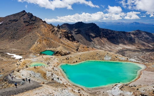
 The Tongariro Crossing in New Zealand
It is called the most beautiful walk in New Zealand, the Tongariro Crossing. The official hiking season starts late October until end of April.
This page shows both the average monthly rainfall and the number of rainy days in Endeavour Inlet, Marlborough Sounds, New Zealand. The figures are based on a 30-year period (1990–2020) to provide a reliable average. Let's now guide you through the details for a complete overview.
Generally, Endeavour Inlet experiences moderate precipitation patterns, averaging 953 mm (38 in) yearly.


Endeavour Inlet offers a pleasant mix of wetter and slightly drier months. The difference in precipitation between June (105 mm (4.1 in)) and January (60 mm (2.4 in)) is not too significant, making the climate enjoyable for visitors and residents alike.
June, the wettest month, has a maximum daytime temperature of 14°C (57°F). The city receives 106 hours of sunshine in this period. During the driest month January you can expect a temperature of 19°C (66°F). For more detailed insights into the city's temperatures, visit our Endeavour Inlet Temperature page.
The map below shows the annual precipitation across New Zealand. You can also select the different months in case you are interested in a specific month.
Endeavour Inlet's average annual precipitation is 953 mm (38 in). Let's compare this to some popular worldwide tourist destinations:
In Lisbon, Portugal, the average annual precipitation is 774 mm (30 in), characterized by wet winters and dry summers typical of the Mediterranean climate.
In Shanghai, China, the annual average precipitation is 1347 mm (53 in), with a humid subtropical climate.
Perth, Australia, receives 565 mm (22 in) of rainfall annually, mostly during the winter months.
Kuala Lumpur, Malaysia, receives 2529 mm (100 in) of annual rainfall, characteristic of its equatorial tropical rainforest climate, with consistent rainfall throughout the year and peak months during March and November.
Precipitation amounts are measured using specific gauges installed at weather stations, collecting both rain and snow and any other type of precipitation. Rainfall is measured directly in millimeters, while that from snow and ice is obtained by melting it. Automated systems often incorporate heaters to make this easier.
Information from these stations is transmitted via Wi-Fi, satellite, GPS, or telephone connections to central monitoring networks. This information is immediately updated and integrated into weather models and forecasts.
The proximity of a location to a large body of water can significantly affect its rainfall patterns:
For more detailed information about Endeavour Inlet's weather, including sunshine hours, humidity levels, and temperature data, visit our Endeavour Inlet Climate page.
Pick a month to see the average temperature, rainfall and sunshine in Endeavour Inlet - and find the best time to visit.
Temperature Rainfall Sunshine Humidity
See the full Endeavour Inlet climate overview or explore weather in New Zealand.
Where to go in October - average daytime high across popular destinations.
Paihia 18°C (64°F) Auckland
 18°C (64°F) Rotorua
 17°C (63°F) Christchurch17°C (63°F) Nelson
 16°C (61°F) Taupo16°C (61°F) Wellington15°C (59°F) Queenstown
 9°C (48°F)
Need travel inspiration? Check out our bucket list articles and be inspired.
The Tongariro Crossing in New Zealand
It is called the most beautiful walk in New Zealand, the Tongariro Crossing. The official hiking season starts late October until end of April.
 White-water sledge and raft in Rotorua
We recommend to white-water sledge and raft in Rotorua in summer (January, February) when the Glacier melt fills the rivers. This is the best time.
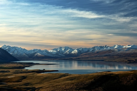 New Zealand in February: North Island or South Island?
Compare New Zealand weather in February for Auckland, Rotorua, Taupo, Christchurch and Queenstown to see which island has the best conditions.

 An alternative way to discover Sydney
We have made an overview of the sights in Sydney that you must see if you want to visit Sydney in an alternative way.